
Only about 10 minutes west from Route 41 and just a bit south of Attica, Indiana, and about 30 minutes north of Turkey Run State Park, this is a nice little stop as you are traveling to or from the park from this general direction. The preserve is situated just out side of the town of fountain. Road signs can direct you once you reach the town.
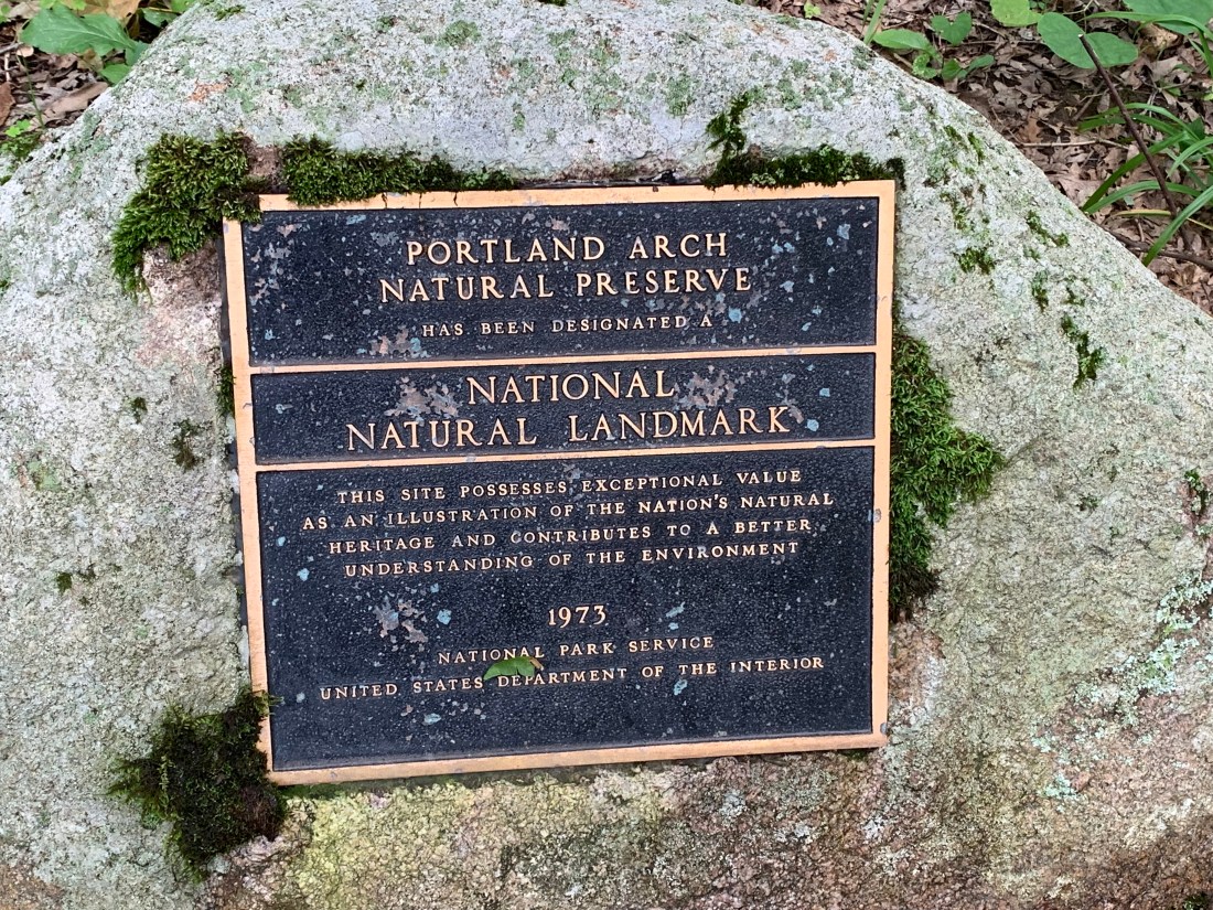
It is listed as a national natural monument and is one of a few natural arches in the state. It really is what they call a “hidden gem”.
Like Turkey Run State Park, this nature preserve has some unusual and unique vegetation. The Department of Natural Resources’ description of the location ( https://www.in.gov/dnr/naturepreserve/files/np-Portland_Arch.pdf ) says this is the only location in the state where Canada blueberry grows. It makes me wonder how climate and geology influenced the spread and establishment of flora in the region and how this has changed over time. No mega fauna on the site today, of course, but there are also huckleberry patches and wintergreen, which is a plant more commonly found in the far north of the US.
The north trailhead which is at the first parking lot (of two) goes to the arch. There is a second parking lot and a south trail which is also a loop that leads towards Bear creek, but does not link up with the north trail or provide views of the arch. There are marked stations on the path which are described in the pamphlet for the park: https://www.in.gov/dnr/naturepreserve/files/Portland_Arch.pdf However, many of the posts have rotted away in the wet environment so if you aren’t keeping track you may lose your place in the pamphlet guide.
The preserve entrance is through a baffled gate such as ones that keep livestock and bikers out. There is a Memorial stone with plaque just inside the fence to denote the preserve’s status as a National Landmark.
The trail length is listed as 0.8 of a mile. Sandstone cliffs form a narrow ravine that is watered by a small creek. This creek cuts through the sandstone, forming a natural arch. The same creek feeds into a larger creek (Bear creek) that flows into the Wasbash River, which is less than half a mile away as the crow flies.
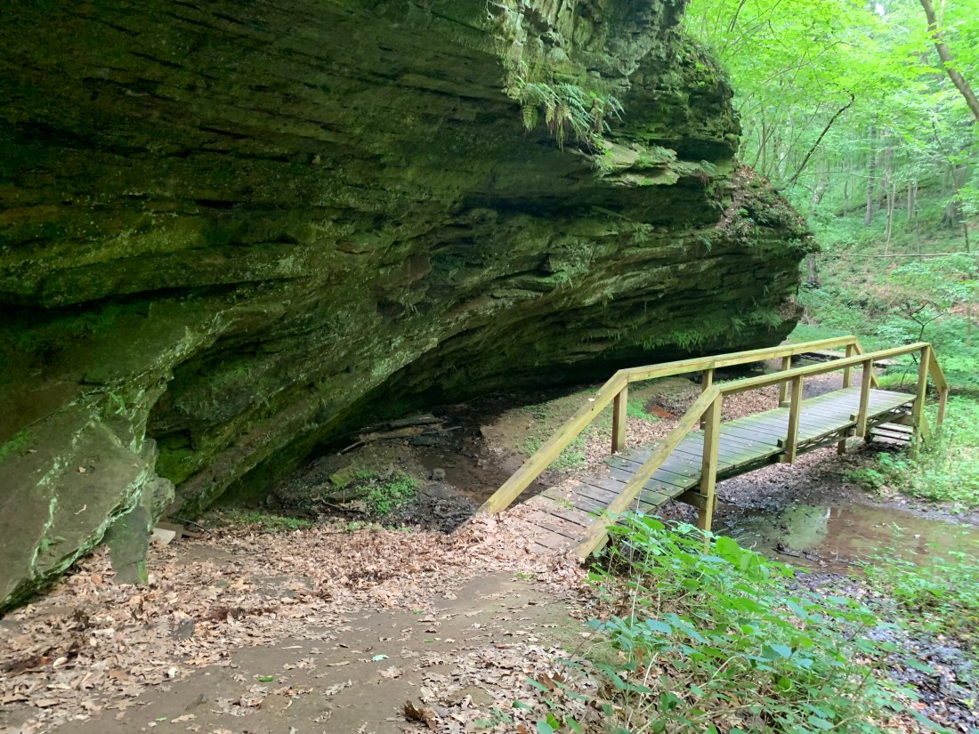
It was just a short walk through the forest and then downward on a small footpath when the sandstone cliffs began to emerge from the covered earth. Not much further along a small footbridge crosses an unnamed creek. If it were up to me, I’d call it arch creek since it is the waterway that helped formed the arch. The DNR wrote that the arch was created by undercutting on both sides of the rock protrusion.
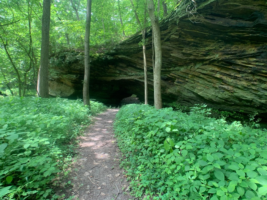
 The striations created by the layering when the stone was originally formed, made interesting natural patterns that become more stunning on the other side of the arch.
This is a nature preserve so there are some restrictions such as no picking the vegetation and they ask you clean your shoes before entering to reduce the possibility of brining in seeds of nonnative plants.
It’s a short and easy trail to hike, and, though small, there is a lot to see. Once you pass over the first little footbridge and follow the path along the sandstone rock face, it’s only just a little further and the arch becomes visible in the sandstone wall you’ve been walking next to. The creek you just crossed turns again and flows through the arch. The trail follows the same path and you can walk upright through the arch.
 The rock formations fascinated me with their alternation my angles. I wasn’t sure how best to capture the features. Here you can see they change directions just above the arch and this may have played a structural stability role in why it did not topple.
I took a few pictures and then passed through. The arch proportions. Make it seem smaller that it is and I found, though I’m not terribly tall, I could walk through without stoops over. Just a small stream of clear water was running through today. It must see higher water after heavy rains.
Passing through the arch from this direction was like walking through a garden gate. The sandstone protrusion was like a walk and protected the environment on the other side closer to Bear creek. The first difference I noticed was the size of the plants. They wee much larger here.
 Now the alternating direction of the stone layers became more apparent and beautiful.
The rock ends abruptly and just next to it Bear creek runs. Higher cliffs rise on the opposite side though further back. I had to wonder if Bear creek had at one time cut a similar arch through this same wall of sandstone.
Heading on down the trail, the cliffs rose higher on either side of the creek. The pale touch me nots were huge- almost to my shoulder in height. Another wooden walkway facilitated walking between the creek and cliff.
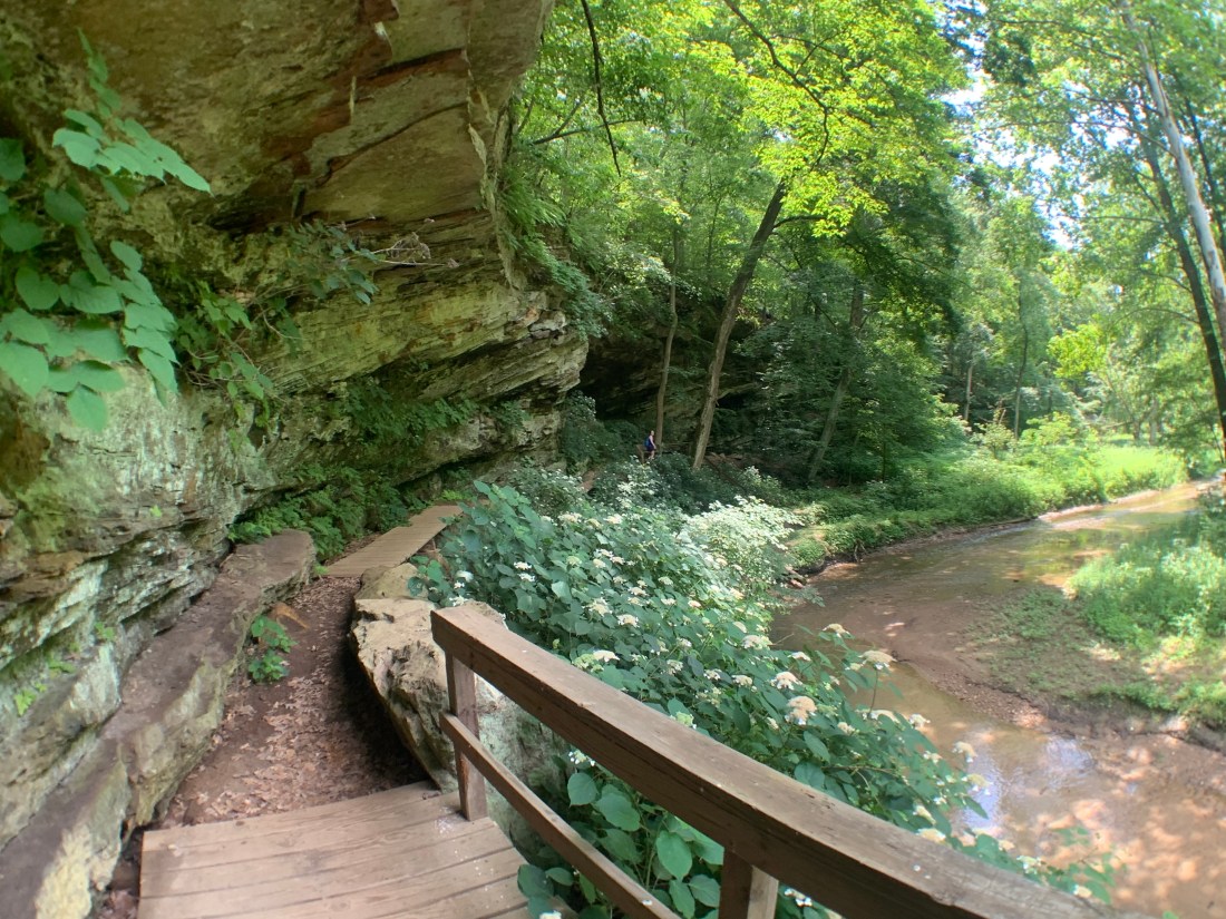
The path continues along the creek for a while offering a view of the much taller cliff face opposite. 
The trail followed a bit further but then turned abruptly towards the cliff face on our side of the creek and again to make almost a 180 degree turn to follow the stone and climb a short and relatively easy pitch up out of the ravine.

Soon we were back up to the surrounding ground level. Though sunny raindrops were hitting the leaves on the canopy high above making almost a popping sound. I couldn’t identify the noise at first I had heard similar sounds of a tree with an insect infestation. Soon the clouds and increase in the noise made it clear it was rain. It stopped just a few minutes later. As we nearer the parking lot it was clear a rain shower was passing nearby and some rain had blown out of it, but that was all.
In just a few minutes we were back at the car, the trail having formed a loop that linked up a short distance from the parking lot.
I saw some photos posted of their being a waterfall on the premises. There is a second trail and a pioneer cemetery and I image some view of the Wabash from the small riverside town of Fountain. I did not see it so perhaps will stop in again as a nice break along Route 41.

Just a short distance up the road and on the other side of Attica and the Wabash is the state’s tallest waterfall. It seems there is plenty to see along Route 41. I’ll have to save that for the next time.
 Hiking on the path near Eiffel Lake.
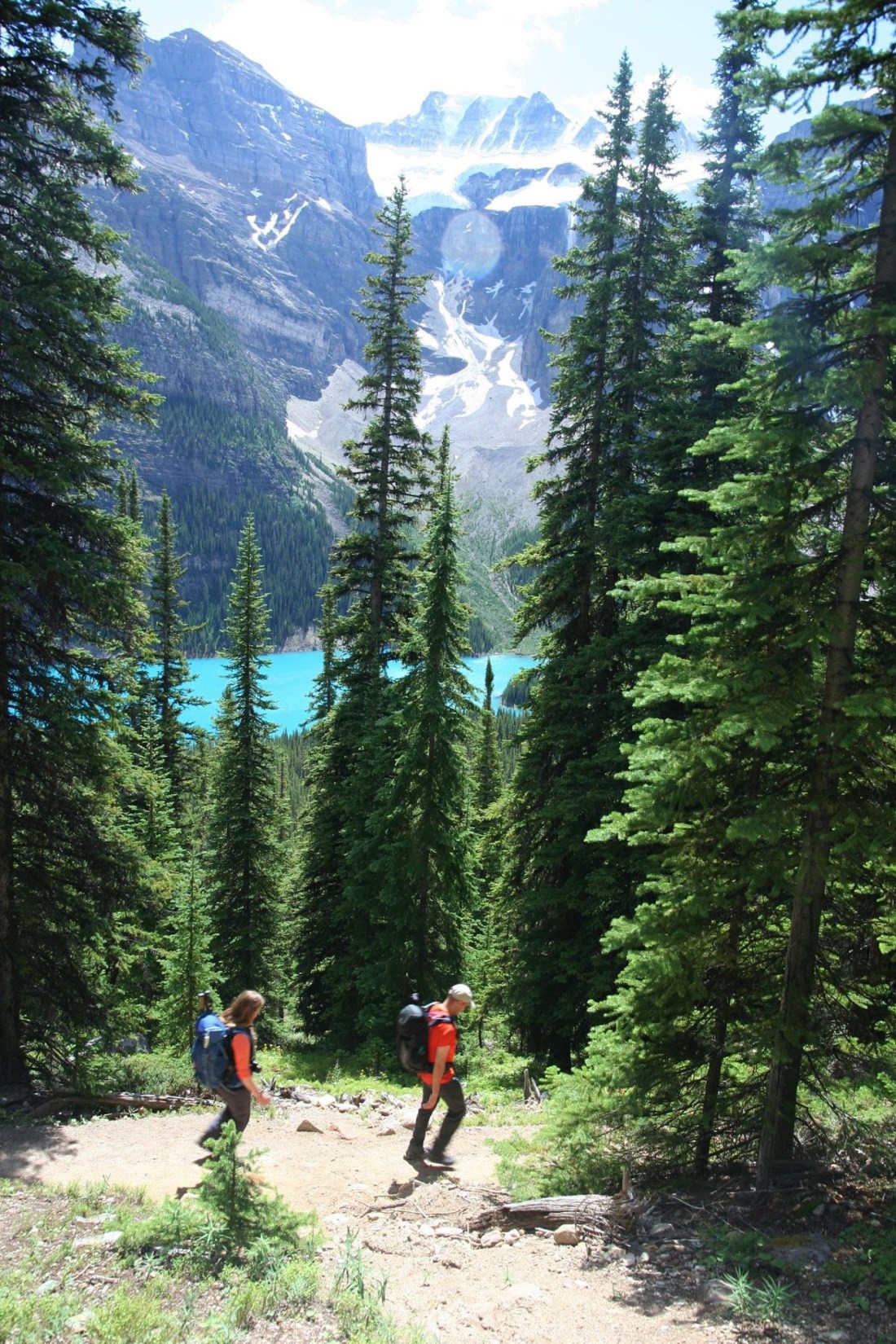 One of several switchbacks rising above Moraine lake on the first leg of our journey. Just a glimpse of some of the 10 peaks through the trees.
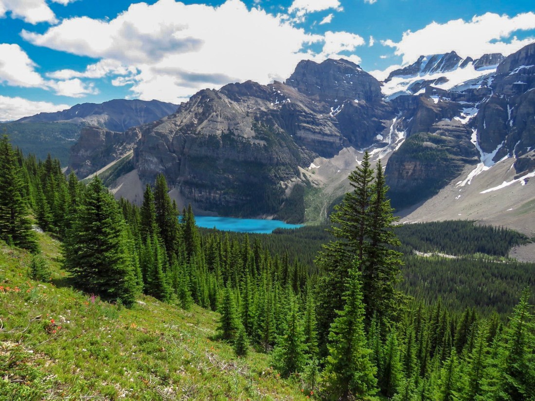 A view back on Moraine lake as the forest opened out to a flowering meadow. The “Tower of Babel” rises above the lake — a short difficult climb with amazing views, I am told.
 Two fellow hikers and our lead continue as the ground began to give way Stoney ground and then scree.
  Eiffel lake finally in view!
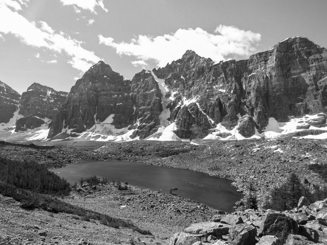 Just above Eiffel lake on the trail looking back on Mt. Perrin, Tuxco, Deltaform and Neptuak.
 A fellow hiker taking a moment to snap a picture of me and Eiffel lake with the base of Mt Neptuak rising on the left and British Columbia just beyond behind. The ridge behind leads up to Wenkchemna Peak in BC.
 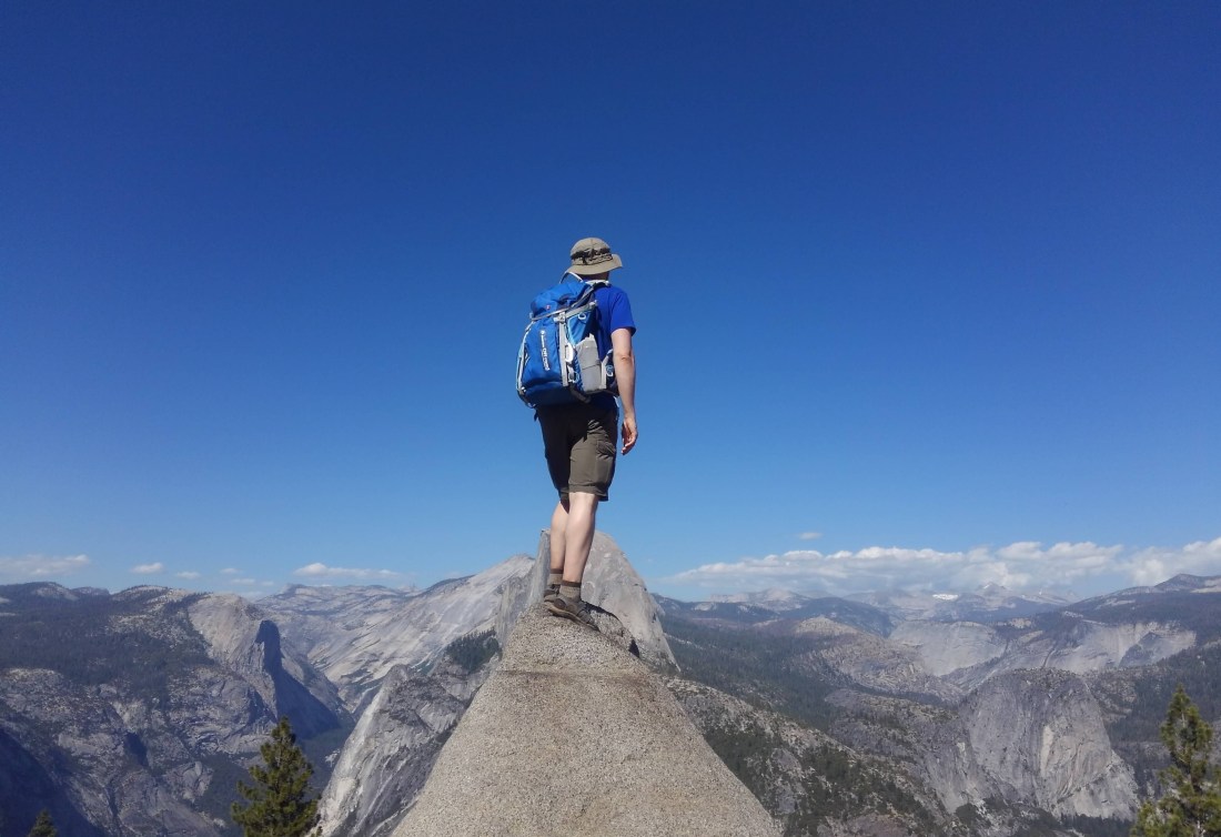 Fellow hiker Daniil enjoying a magnificent view of Yosemite valley due to good planning by our guide, Rich.
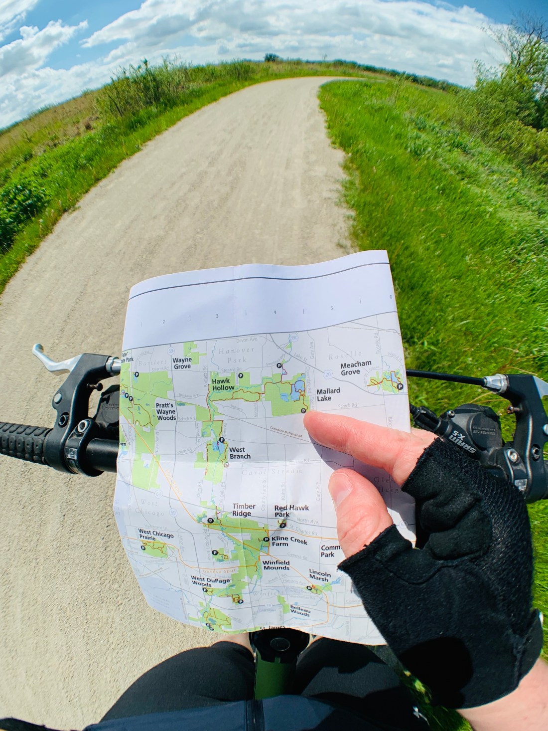 Myself reviewing a map to confirm location and features of my intended route on a recent bike ride.
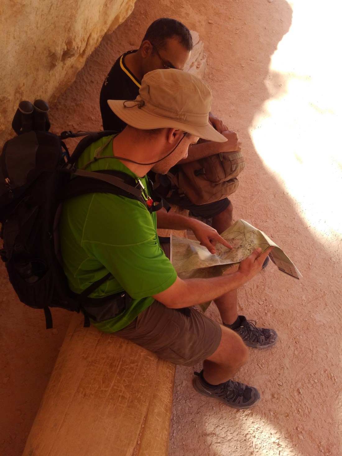 Our guide Rich, reviewing and pointing out features on a trail map for Bryce Canyon.